
Students make their mark on the map
BVH students place top four in GIS Mapping and Showcase Competition
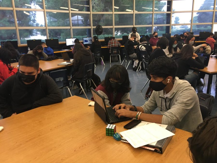
Sophomore Manuel Jurado (right) works in the library during second period with his peers. During his freshman year, Jurado worked on his ArcGIS project online as a result of COVID-19 and distance learning.
October 25, 2021
“I was a bit dumbfounded [to receive first place]. I knew she [Leon] had submitted it [his story map] and I was expecting to place, but I did not expect it to be first place,” sophomore Manuel Jurado said. “ At one point I did start crying because it was something I was not expecting.”
Initially, Jurado struggled to find the motivation to complete his project. However, after “a boost of motivation” he started working on the project as he would with any other project. After the project, Jurado found that the ArcGIS is important in putting into relation, data and place. In his story map, Jurado researched the income and household data of the different zip codes within the Sweetwater Union High School District to show the cost of spending among schools.
“Many people, when they think of money and school or education, they think of college, but there are many costs to just attending high school itself,” Jurado said. “I didn’t talk about it that much but school supplies could be really expensive, and given the whole [Scholastic Aptitude Tests (SATs) and American College Tests (ACTs)], they could add up a lot. Especially to one who wants to take five [Advanced Placement (AP) tests] in that one year, it could add up to a lot.”
Displayed on the California Geographic Alliance website were the Geographic Information System (GIS) Mapping Showcase and Competition winners for 2021. This state-wide competition recognized five students for their “focuses on stories, issues or ideas that are important to them.” Out of the five winners in the competition, four Bonita Vista High (BVH) sophomores—all freshmen at the time—ranked in the competition.
“That’s [four students placing top five] the best we’ve ever done in the competition. I did have a student place in the top five a couple of years [ago] but we did really well. We took four out of the five top spots in the state, so that’s exciting,” ninth grade Human Geography teacher Kelly Leon said.
Students from around the state entered their ArcGIS maps—a tool which helps showcase demographics and data—into the competition to answer a geographic-focused question drafted and proposed by the students themselves. For first place winner and sophomore Manuel Jurado, his story map, “Money and School: Analysis and Depiction of Money at a Secondary Educational Level,” aimed to analyze the total cost of high school.
Third place winner and sophomore Sophia Sanchez directed the focus of her topic on more recent events. Her ArcGIS project, “COVID-19, RACE, and INCOME: A map of San Diego County that shows Race, Poverty, and Covid-19,” investigated how COVID-19 influenced the connection between lower-income areas and certain racial groups.
“It’s important for people to be educated on this topic because it’s not fair if lower-income people in certain demographics are being more affected by COVID-19. They’re already struggling enough,” Sanchez said.
From this project, one takeaway for Sanchez was learning that lower-income areas around San Diego have the most COVID-19 cases, the majority being Hispanic populations. Sanchez believes that her topic received third place due to its relevance at the time.
“I was shocked by it [the news of receiving third place]. I saw other people’s projects and I was like, ‘Oh wow they’re really good,’ ” Sanchez said. “I was really happy. [She thought to herself], ‘Wow, good job Sophie.’”
In fourth place, sophomore Eliana Santos aimed to answer the question, “How does an area’s income affect the available skateboarding opportunities in San Diego County?” In her project, “Effects of Income on San Diego Skateboarding,” Santos provides demographic information of the different skate parks throughout San Diego county. According to Santos, she focused on this topic to help spread knowledge of what skateboarding can mean to someone and how media can change the appearance of skateboarding.
“I didn’t expect to get anywhere in the state competition, seeing how everyone else’s topics were more about current events. I didn’t [think] I had much of a chance,” Santos said. “I think it [winning fourth place] had to do with the fact that it [her ArcGis project] was a bit more unique with the topic that I chose.”
For her project, “COVID-19 Vaccinations in California,” sophomore Madeleine Mann placed fifth place in the competition. Her question, “How many people in California have received the vaccine, and which populations are under-represented or over-represented?” was supported with data and demographics of COVID-19 and the distribution of vaccines.
“I thought this was a relevant topic, especially at the time when COVID-19 was really prominent, and the vaccinations were new [and] just starting to get out there,” Mann said. “I hope that it somehow helped them [the audience] in some way regarding the vaccines.”
All of the GIS winners went through a similar process while constructing their ArcGis project: brainstorming the topic, conducting research and collecting the information to input into their story map. For two weeks, students worked towards completing their ArcGIS story maps before the deadline, April 16, 2021.
“I’m amazed by what the students were able to do because again all of this was virtual. They had to not only go through this process of identifying a question, identifying data and actually creating the product, but they had to teach themselves more or less [how to utilize] ArcGIS, and [did] in a number of ways,” Leon said.
The four BVH sophomores learned to navigate and build their story maps through an ArcGIS tutorial specific to secondary students. The students worked their way through this course and upon completion, they earned a certificate. With guidance from the tutorial, they could visually represent an answer to their geographic question.
“I definitely think [ArcGIS] is an important tool to use, especially for students looking to go into that field. GIS can help you improve your skills, it’s a useful tool to record information. Especially for people who are visually oriented, it helps you look at information and see how it can be compared to an area rather than, for example, reading something,” Mann said.